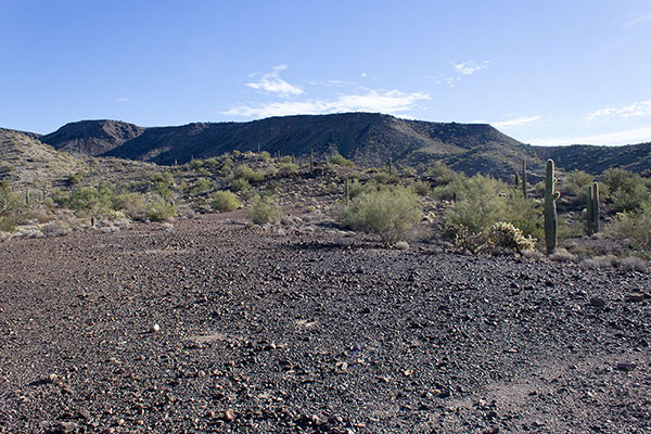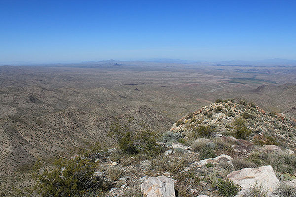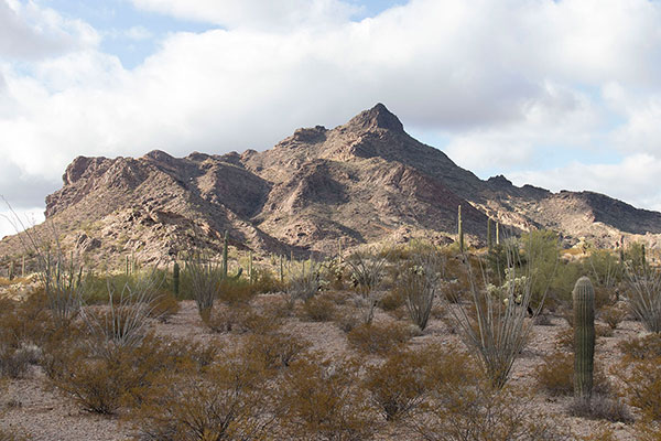
On Saturday, January 27, Michael Vincent and I visited the Tinajas Altas Mountains in southwest Arizona. This rugged mountain range lies within the Barry M. Goldwater Air Force Range (BMGR). Our goal was to climb the highpoint of Tinajas Altas Mountains. The highpoint has only 2764 feet of elevation, but has 1724 feet of prominence, making it the 103rd most prominent peak in Arizona. The rugged and rocky Tinajas Altas Mountains lie in a remote and quite arid portion of the Sonoran Desert, adding to the challenge. I was glad to have Michael, a competent desert mountaineer and Jeep owner who I have climbed with in the past, as a companion.
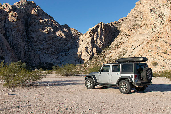
That morning I met Michael near the Tinajas Altas (“High Tanks”) parking area. The Tinajas Altas lie just west of El Camino Del Diablo, an important travel route for indigenous people, Spaniard explorers, and settlers/miners over the centuries.
[Read more…] about Tinajas Altas Mountains, Arizona, January 2024