
Oregon Bicycle Ride, 1999
Background
We enjoyed Wheeling Hawaii '99 tour in March, but looked forward to returning to the Oregon Bicycle Ride since this year's route was a loop around the Wallowas of Northeastern Oregon. This was our third consecutive year on the Oregon Bicycle Ride. As always, the tour was organized by Bicycle Rides Northwest, a company based in Bend, Oregon.
Itinerary
| Day | Start | Stop | Mileage | Elevation Gain |
|---|---|---|---|---|
| August 8 | Pendleton | Elgin | 64 | 5200 |
| August 9 | Elgin | Joseph | 54 | 3050 |
| August 10 | Joseph | Halfway | 72 | 5420 |
| August 11 | Halfway | Baker City | 55 | 3370 |
| August 12 | Baker City | Crane Flat | 53 | 4100 |
| (alternate) | Baker City | Crane Flat | (56) | (5800) |
| August 13 | Crane Flat | Ukiah | 65 | 3000 |
| (alternate) | Crane Flat | Ukiah | (43) | (1800) |
| August 14 | Ukiah | Pendleton | 50 | 1300 |
|
Totals
|
413 | 25440 | ||
Diary
7 August 1999 (Saturday)
Linda and I drive to the Pendleton Convention Center where the ride registration and first campsite are located. We meet several friends, including Alan, who is joining the OBR for the first time, and his wife Colleen who is driving his pickup and pulling his parent's trailer for upscale accommodations. We reestablish our camp routine and plan an early start for tomorrow's climbs.
8 August (Sunday)
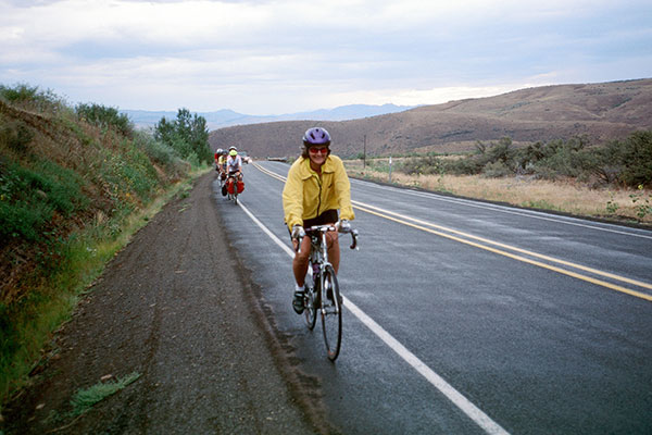
Linda and Alan
We start the ride on a bike path along the Umatilla River, leave Pendleton to the northeast along highway 11, turn onto Banister Road, and descend into Weston. From Weston we start our climb along Hay Creek and join highway 204, which we follow to the east.
We climb over several summits and false summits and through scenic Tollgate, finally reaching our last summit of the day near the Spouts Springs ski hill. From here we enjoy a fun and scenic descent along Little Phillips Creek and Phillips Creek to Elgin. We had a big day of climbing, but feel strong and enjoy relaxing near camp at the Elgin City Park
9 August (Monday)
Today's ride is very scenic. We climb out of Elgin east on highway 82 to Minam Summit. Then we enjoy a fast and cool descent in the morning shadows to the Minam River and across the Minam River Bridge where the Minam River joins the Wallowa River. We follow the Wallowa River upstream to the town of Wallowa for a rest and food stop near the high school. We follow highway 82 mostly on side roads through Lostine and skirt Enterprise on our way to Joseph.
Camp is at the Joseph School overlooking the town with a fine view of the Wallowas to the south.
View toward Ice Lake from Mt Howard
Several of us pile into the back of Alan's pickup and ride along Wallowa Lake to take the gondola ride up Mount Howard. From here we take a short hike and enjoy excellent views into the Wallowas where I last backpacked and climbed in July 1989. We return to camp for dinner and watch paragliders glide into Joseph from the top of Mount Howard.
10 August (Tuesday)
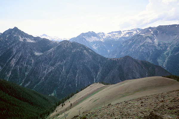
View along USFS Road 39
This is reported to be a spectacular day for views and the most strenuous of the tour. We leave Joseph to the east on highway 350, then turn onto USFS Road 39 which follows Little Sheep Creek upstream to the south. This is part of the Wallowa Mountain Loop which we will follow most of the day to reach Halfway.
We climb into heavy timber and reach our first summit after about ten miles, then descend along Salt Creek to enter Hells Canyon National Recreation Area. We climb to another summit and our first rest stop. We have a fast and curvy descent to Gumboot Creek and the Imnaha River. I almost hit rock debris on the road, and learn later that another bicyclist goes down here.
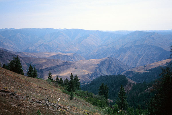
Hell's Canyon Overlook
We follow the Imnaha river upstream a short distance, then climb along Dry Creek towards our last summit, taking a short side trip to Hell's Canyon Overlook on the way. The view is well worth the short detour.
From the last summit we have a another fast and curvy descent along Lonesome Creek, then follow North Pine Creek to highway 86, which we follow the last ten miles to Halfway. Camp space is tight at the Fairgrounds but we enjoy visiting the downtown. Ken learns he must regretfully leave the tour due to a family illness at home.
11 August (Wednesday)
The morning is damp and we treat ourselves to lattes at a coffee shop before leaving Halfway for Baker City. It is particularly wet as we drop into Richland and many people wait there for the showers to pass before continuing.
Drizzly ride to Baker City
The weather remains wet on and off throughout the ride, but is negligible compared to the drenching conditions we had experienced on Hawaii in March. Camp at Baker City High School is dry and spaceous.
12 August (Thursday)
Today we decide to take the shorter option to Crane Flat by way of Sumpter and Granite, rather than the more strenous option by way of Anthony Lakes Ski Area.
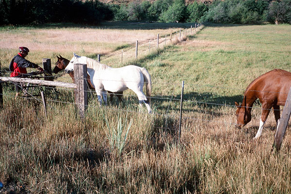
Friendly horses along the way
Our option has plenty of climbing and is very scenic, itself. We leave Baker City along highway 7 with view of pastures and horses to a scenic rest stop by Phillips Reservoir where we spot osprey.
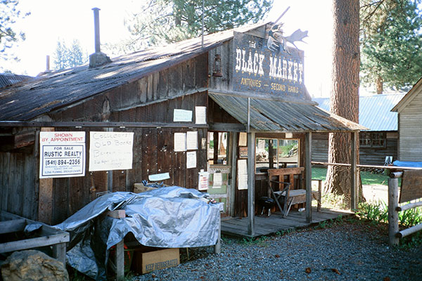
Sumpter's Black Market
We leave highway 7 and ride along old gold mining dredge tailings to the mining town of Sumpter. Sumpter appears to be an interesting place to spend more time and we plan to return some day for a longer stay.
The route now climbs through heavy timber with scenic views of the Blue Mountains to Blue Springs Summit, then has a winding descent to Bull Run Creek and the dredge tailings leading to Granite.
Here we climb north to our camp at Crane Flats. This is a meadowed area and our highest campsite. The riders who choose the more difficult option gradually arrive later. Thunderstorms threaten, but do not affect us.
13 August (Friday)
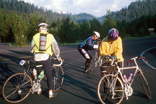
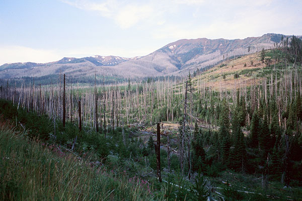
Cold start near Crane Flat
Today starts cold. We take the longer option to Ukiah and follow USFS Road 51 north towards Starkey. It begins with a short climb, then a fast, shady, and colder descent along Chicken Creek We continue along the Grande Ronde River to Starkey and a rest stop.
The weather looks wet to the west where we are headed now. We turn west on highway 244 and climb 1600' over a pass. We descend into a cold, drenching rain. Some turn off to Lehman Hot Springs where they find a generous manager who dries their bicycle clothes while they enjoy the springs.
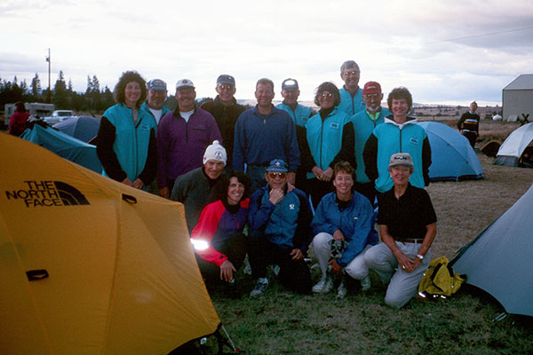
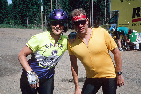
Salem contingent at Ukiah
We decide not to stop, but continue
on to drier conditions at camp at Ukiah's Topper Ball Field. We dry out
and make sure our tent is secure. There are a few showers at camp, but
the weather dries out in the evening.
14 August (Saturday)
The weather is very pleasant this morning as we leave Ukiah north along
highway 395. We have a short climb to our only summit, then start a pleasant,
long descent through Pilot Rock to Pendleton. It is a short day, and we
enjoy music and comedy entertainment over lunch at the Convention Center
before leaving for home.
