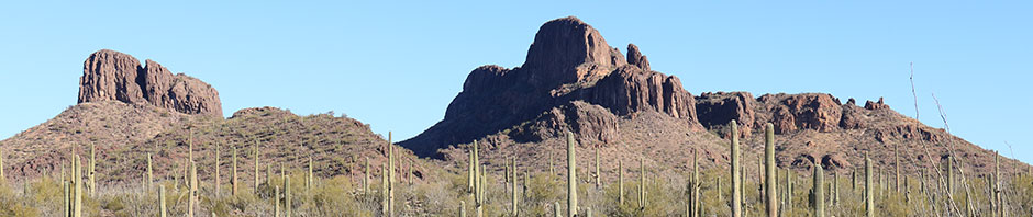
On Tuesday, April 13, I climbed Maricopa Peak, the summit of Javelina Mountain and the highpoint of the Sand Tank Mountains. Maricopa Peak is visible to the south from Interstate 8 about 20 miles east of Gila Bend, Arizona. It has 1484 feet of topographic prominence, making it the 155th most prominent peak in Arizona. It is located in Area A of the Sonoran Desert National Monument.
Last December Linda and I explored the access road to Maricopa Peak. I found the road passable with high clearance to a parking spot close to the peak. We considered returning sometime to camp there to make the trip a family outing. But the opportunity to return did not arise before the desert became too hot for a pleasant camping trip. I was running out of opportunities to return this season so I decided to give the peak a try in spite of the warm temperatures.
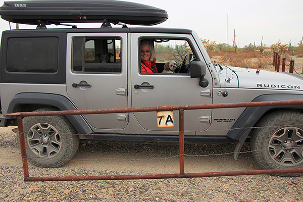
My Jeep handled the drive in on Tuesday without getting high centered or banging against rocks I did not want to stop for to move. I did stop several times to photograph the north slopes of Javelina Mountain from the desert floor. I returned to my chosen parking spot and decided it would not have been a scenic spot to camp after all.
After parking I continued on foot up the road for about half a mile to the road’s end. Here the cross country climbing began.
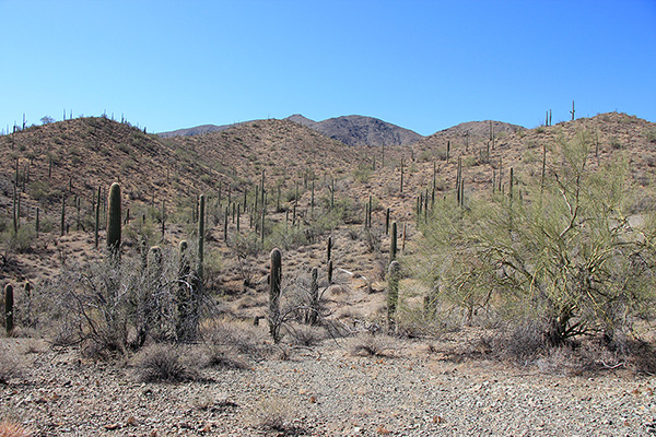
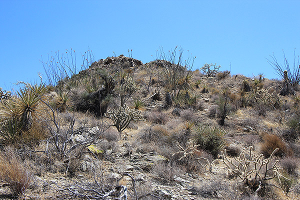
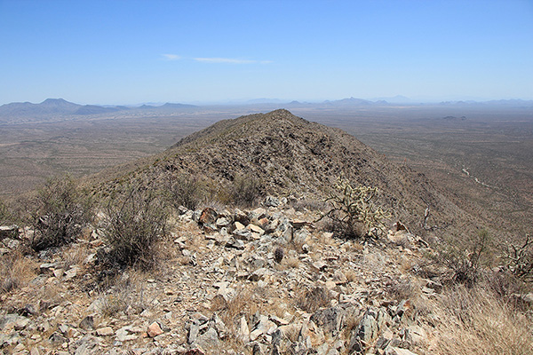
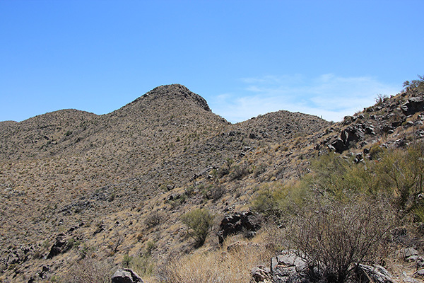
I chose to climb up along an open ridge that appeared to lead to the upper mountain. It seemed there were gaps behind some points on the ridge. Fortunately each time the ridge topped out there was only a minor elevation loss before the ridge continued higher. The footing was good and I enjoyed a breeze as the day warmed up.
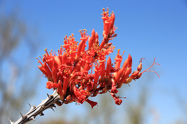
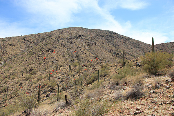
The ocotillo plants (Fouquieria splendens) were blooming and their red blossoms added points of color to the otherwise drab slopes.
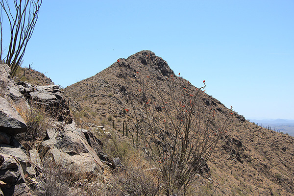
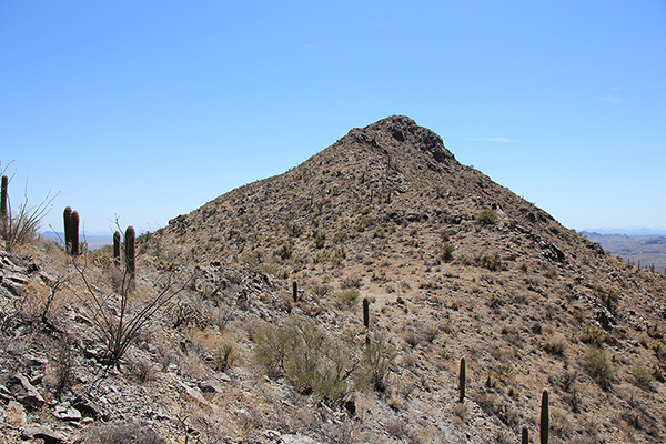
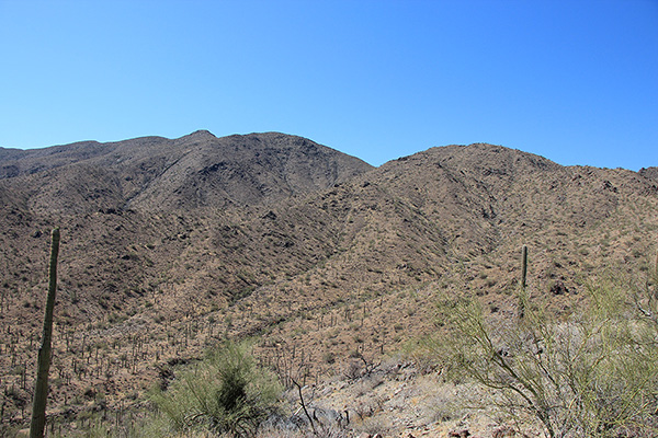
Maricopa Peak remained hidden for most of my climb but finally came into view as I approached a subsidiary summit. Rather than climbing further up I decided to traverse across a rocky and brushy slope to a saddle immediately below the Maricopa Peak. I carefully watched and listened for snakes as I did so, but detected none.
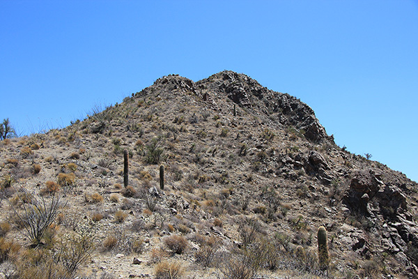
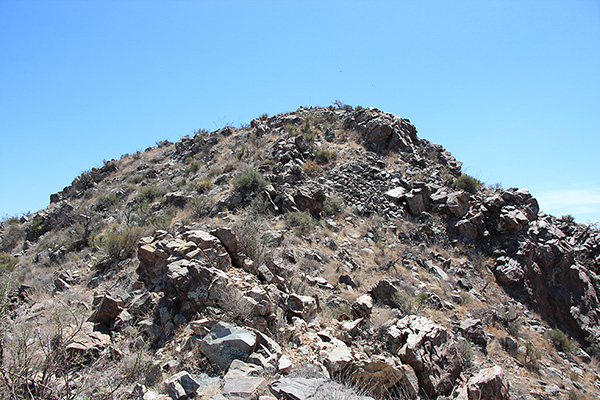
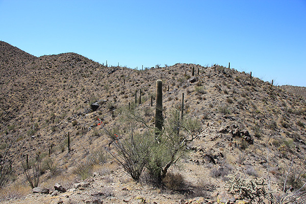
From the saddle I climbed directly up slope to the summit of Maricopa Peak. Many desert plants decorated the slope but they were easy to step around. The slope was rocky near the top and this added some character to the finish of the climb.
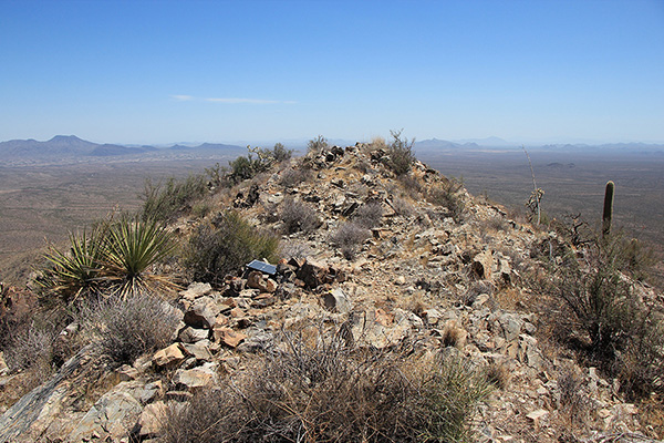
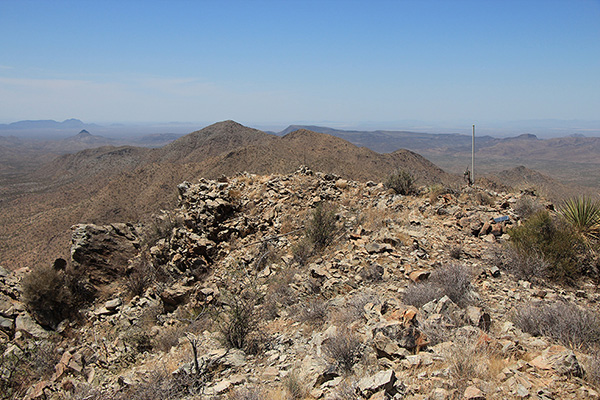
I found a small antenna and a few solar panels immediately on reaching the summit ridge. I noted a local high point, but decided the true summit of Maricopa Peak lay a few feet further to the southeast.
There I found a summit registry inside a small rock cairn. I signed into the registry and discovered I was the first person to do so since my peakbagging friends Matthias Stender and Adam Humphreys had signed in over two years earlier.
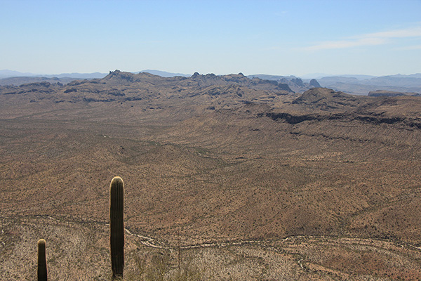
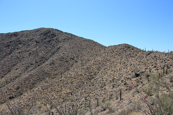
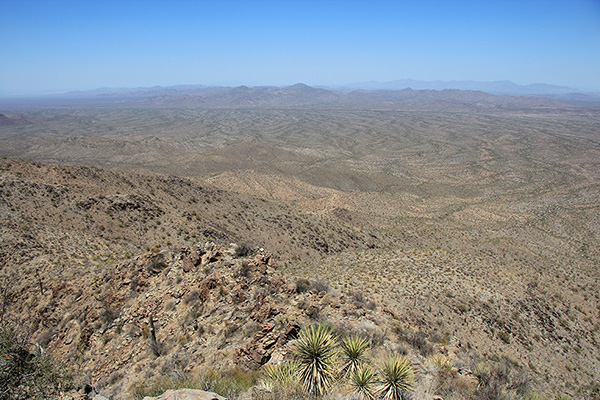
While I ate lunch I admired the views of remote and rugged ranges around me. Table Top, the Vekol Mountains, and distant Cimarron Peak beyond the Sand Tank Mountains reminded me of memorable climbs. I recognized many other peaks I have visited and I identified a few I hope to visit in future seasons. Swifts repeatedly passed by me at high speed, too fast for me to try to photograph.
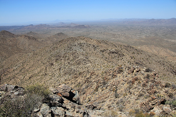
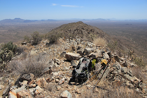
I thought I recognized the road I had driven in on far below me and the general area where my Jeep was parked. It seemed a more direct route down to return to the subsidiary summit below, then descend the broad north slope towards my parking spot. I decided I would give that route another look as I descended and make a decision then.
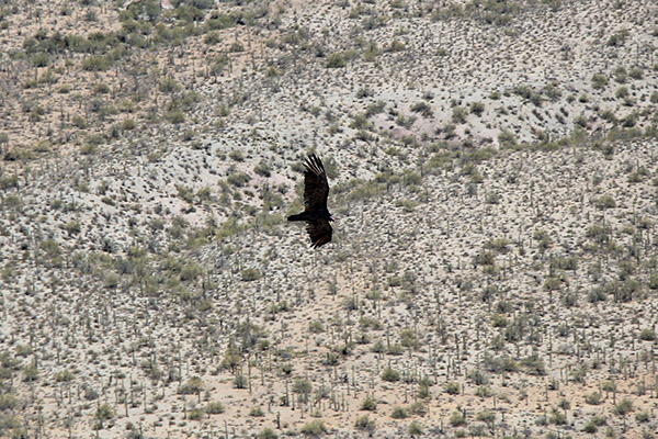
As I started my descent five turkey vultures passed nearby and I paused to watch them. Then I continued down to the subsidiary summit. The north slope seemed feasible so I started down. The slope steepened but the footing was good and my descent went quickly.
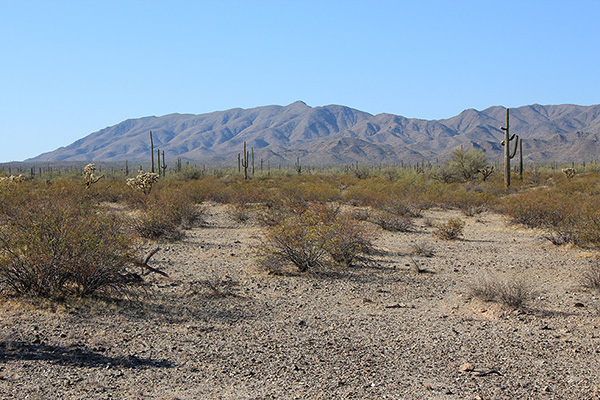
As I dropped into the gully I lost the breezes and the afternoon grew hotter. I discovered that the gullies and ridges led me away from my destination, so I had to cross several washes and low ridges to compensate. The temperature seemed to spike whenever I crossed a wash but I enjoyed the light breezes on the low ridges. I was thirsty but rationed my water and had plenty to drink waiting for me at my Jeep.
It was a successful climb of Maricopa Peak. I will remember the experience whenever I pass by on future travels.

Leave a Reply