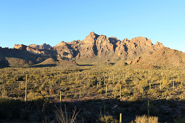
On Saturday morning, January 28, I left Tucson and drove west to Organ Pipe Cactus National Monument. My goal was to climb Diaz Peak. Diaz Peak lies immediately south of Mount Ajo in the Ajo Range. Diaz Peak has 1501 feet of topographic prominence, making it the 153rd most prominent peak in Arizona. It also has a rocky and complex structure. I hoped the GPS track provided by Matthias would guide me as I climbed to the summit.
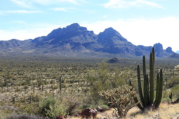
I drove the Ajo Mountain Drive past Mount Ajo and parked off the road at Stop #15. It was later in the morning than I had expected and Diaz Peak looked far away across the desert. So I set a tentative turnaround time for myself. It was going to be a close call as to whether I would be able to summit by then.
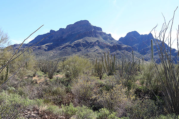
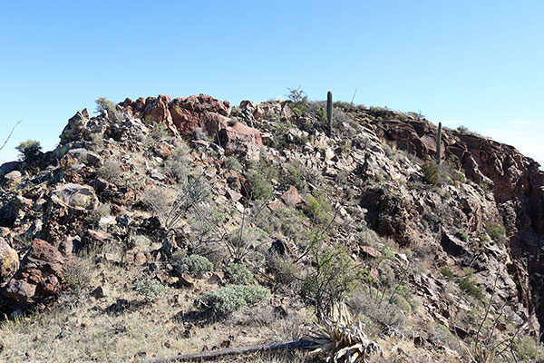
I hiked directly towards the peak and studied its northwest face as I weaved around brush and cacti and across shallow washes. Eventually I realized Matthias’s track led to the left of the large cliffs facing me, gaining a high saddle northwest of the summit ridge.
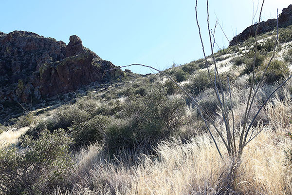
I climbed onto and followed a slope leading upwards and arrived at the high saddle.My turnaround time was approaching, but I decided to at least explore higher.
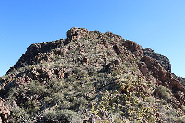
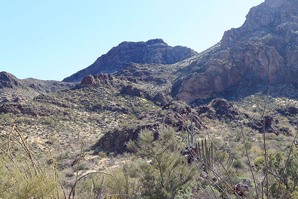
I left my hiking poles and climbed a rocky slope towards the summit. There were a few spots with exposure, but the rock was firm with many foot and hand holds. The the climbing was secure and fun. Occasionally I left a cairn to help me find my descent route later.
Higher I climbed through an alcove to gain the top of a rocky summit candidate. From there I finally saw the actual summit further ahead. It was my turnaround time, but I was too close now to turn back.
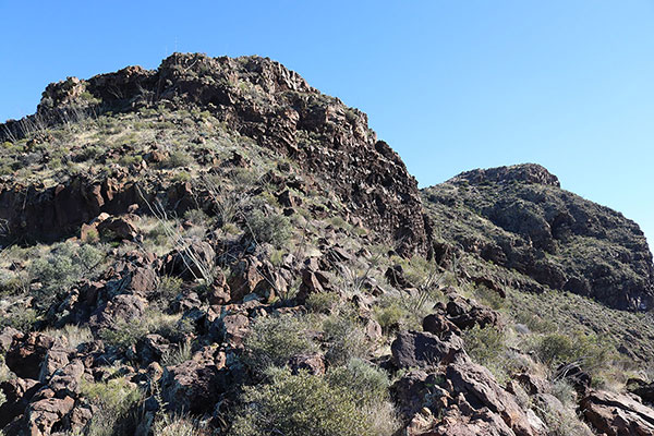
I followed the narrow ridge leading towards the summit and was stopped by cliffs below me. Eventually I found a route down through the cliffs. I looked back to ensure I could find the route back up the cliff on my return, then continued climbing towards the summit. Near the top I crossed slabs with sharp-edged exfoliated sheets of rock that crinkled beneath me as I climbed over them.
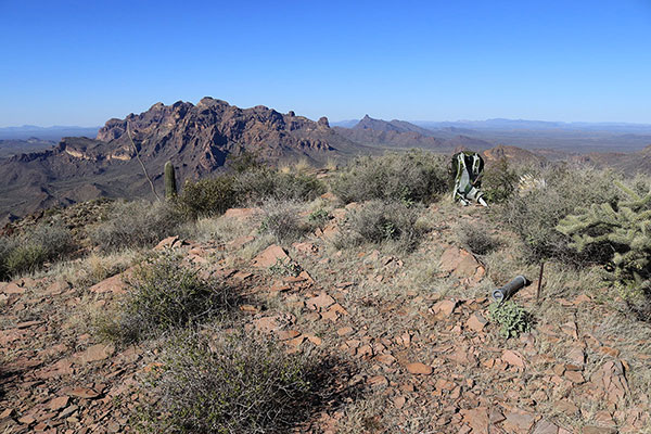
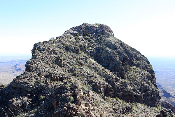
Soon I arrived at the summit of Diaz Peak. It was time for a belated lunch and rest. I found the summit registry and added my name.
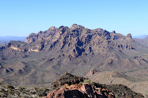
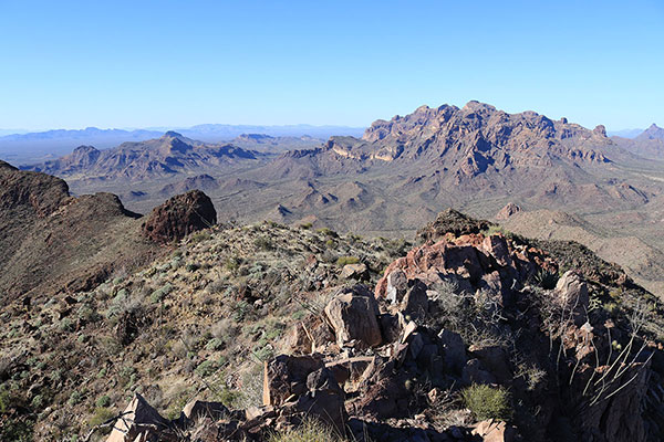
Then I took some photos. I admired the view of Mount Ajo, which I had climbed nearly seven years earlier. To the southeast I viewed the Mesquite Mountains, which I climbed some four years earlier with Matthias, Scott, and Michael. Baboquivari Peak rose on the distant horizon beyond the Mesquite Mountains.
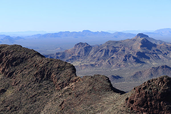
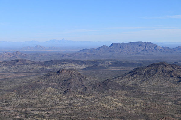
Kino Peak was visible to the northwest beyond the Diablo Mountains. I hope to visit Kino Peak soon with companions. It was soon time to begin my descent off the upper mountain.
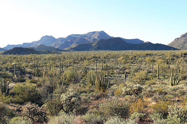
I carefully retraced my route towards the upper saddle, noting my cairns in some ambiguous spots, and retrieved my hiking poles. From there I descended slopes through dry grass, loose rocks, and occasional brushy washes to the desert floor.
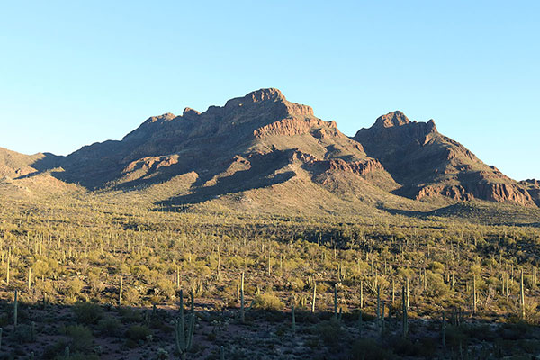
Here the footing became better and I made better time. I paused a few times for late afternoon views and photos of the mountains and returned to my Jeep just a few minutes after sunset. It had been a surprisingly successful climb of a notable peak.

Leave a Reply